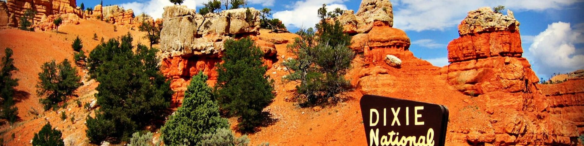
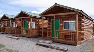
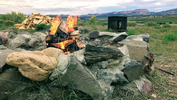
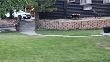
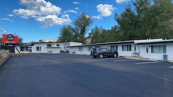
Foto de Eric & Kristy's Adventures
Hoteles en Alton

Opciones de cancelación gratuita si cambias de planes

Llévate recompensas por cada noche de tu estancia

Ahorra más con los precios para miembros
Consulta los precios para estas fechas
Esta noche
Mañana
Próximo fin de semana
En dos semanas
¿Dónde te alojarás en Alton?

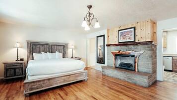
Luxe Home ~ 2 Mi to Bryce Canyon National Park!
Luxe Home ~ 2 Mi to Bryce Canyon National Park!Bryce Canyon
El precio actual es de 479 €
incluye tasas e impuestos
Del 23 abr al 24 abr


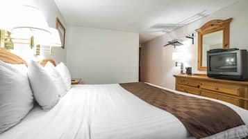
Bryce Canyon Pines
Bryce Canyon PinesBryce Canyon
8.0 sobre 10, Muy bueno, (1.018 comentarios)
El precio actual es de 68 €
incluye tasas e impuestos
Del 12 abr al 13 abr


Rodeway Inn Bryce Canyon
Rodeway Inn Bryce CanyonPanguitch
8.0 sobre 10, Muy bueno, (1.002 comentarios)
El precio actual es de 48 €
incluye tasas e impuestos
Del 18 abr al 19 abr


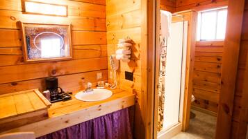
Bryce GatewayInn Cabins
Bryce GatewayInn CabinsPanguitch
8.0 sobre 10, Muy bueno, (793 comentarios)
El precio actual es de 72 €
incluye tasas e impuestos
Del 12 abr al 13 abr

Quality Inn Panguitch near Bryce Canyon
Quality Inn Panguitch near Bryce CanyonPanguitch
7.8 sobre 10, Bueno, (1.005 comentarios)
El precio actual es de 69 €
incluye tasas e impuestos
Del 27 abr al 28 abr


The Riverside Ranch RV Park, Motel & Campground
The Riverside Ranch RV Park, Motel & CampgroundHatch
9.4 sobre 10, Excepcional, (565 comentarios)
El precio actual es de 84 €
incluye tasas e impuestos
Del 30 abr al 1 may


Galaxy of Hatch between Bryce and Zion
Galaxy of Hatch between Bryce and ZionHatch
8.2 sobre 10, Muy bueno, (27 comentarios)
El precio actual es de 80 €
incluye tasas e impuestos
Del 12 abr al 13 abr

Bryce Zion Inn
Bryce Zion InnHatch
7.8 sobre 10, Bueno, (542 comentarios)
El precio actual es de 57 €
incluye tasas e impuestos
Del 12 abr al 13 abr


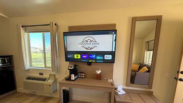
Mountain Ridge Cabins and Lodging
Mountain Ridge Cabins and LodgingHatch
9.2 sobre 10, Impresionante, (990 comentarios)
El precio actual es de 114 €
incluye tasas e impuestos
Del 5 may al 6 may

Hatch Station Motel and Restaurant
Hatch Station Motel and RestaurantHatch
8.4 sobre 10, Muy bueno, (414 comentarios)
El precio actual es de 54 €
incluye tasas e impuestos
Del 12 abr al 13 abr


Aspen Cove resort
Aspen Cove resortPanguitch
7.0 sobre 10, Bueno, (66 comentarios)
El precio actual es de 147 €
incluye tasas e impuestos
Del 23 abr al 24 abr


Historic Smith Hotel B&B
Historic Smith Hotel B&BGlendale
9.2 sobre 10, Impresionante, (505 comentarios)
El precio actual es de 119 €
incluye tasas e impuestos
Del 13 abr al 14 abr


The Lodge at Duck Creek
The Lodge at Duck CreekMeadow View Heights
9.4 sobre 10, Excepcional, (94 comentarios)
El precio actual es de 275 €
incluye tasas e impuestos
Del 15 abr al 16 abr


Duck Creek Village Inn
Duck Creek Village InnDuck Creek Village
9.4 sobre 10, Excepcional, (172 comentarios)
El precio actual es de 151 €
incluye tasas e impuestos
Del 12 abr al 13 abr


Arrowhead Country Cabins
Arrowhead Country CabinsMount Carmel
9.6 sobre 10, Excepcional, (70 comentarios)
El precio actual es de 172 €
incluye tasas e impuestos
Del 14 abr al 15 abr


89 & Nine Motel
89 & Nine MotelOrderville
8.6 sobre 10, Excelente, (166 comentarios)
El precio actual es de 102 €
incluye tasas e impuestos
Del 14 abr al 15 abr


Best Western East Zion Thunderbird Lodge
Best Western East Zion Thunderbird LodgeOrderville
9.2 sobre 10, Impresionante, (1.005 comentarios)
El precio actual es de 135 €
incluye tasas e impuestos
Del 14 abr al 15 abr
Precio más bajo por noche encontrado en las últimas 24 horas para una estancia de 1 noche y 2 adultos. Los precios y la disponibilidad están sujetos a cambios. Pueden aplicarse términos y condiciones adicionales.
Escoge un alojamiento muy especial de Alton
Acepta mascotas
Casa de campo
Principales lugares de interés de Alton
Todo lo que necesitas saber sobre Alton
Alton es conocida por lugares de interés como Bosque nacional Dixie y Alton Town Hall.

Foto de Eric & Kristy's Adventures
Foto gratuita de Eric & Kristy's Adventures
Lee las opiniones de los huéspedes sobre sus hoteles preferidos de Alton
89 & Nine Motel
10/10 Excelente


Preguntas frecuentes
Descubre más destinos
- Hoteles con aparcamiento en Apple Valley
- Long Valley Junction hoteles
- Campings de caravanas en Hildale
- Hoteles baratos en Hildale
- Hoteles cerca de Hospital Garfield Memorial Hospital
- Hoteles cerca de The Rock Stop
- Hoteles cerca de Bryce Wildlife Adventure
- Hoteles cerca de Navajo Trail
- Hoteles cerca de Sendero Riverside Walk
- Hoteles cerca de Panguitch Lake
- Canyon Point hoteles
- Hoteles cerca de Bryce Canyon National Park Visitor Center
- Hoteles cerca de Bunkhouse at Cottonwood Meadow Lodge
- Glendale hoteles
- Casas de campo en La Verkin
- Hoteles con piscina en Kanab
- Moteles en Kanab
- Hoteles baratos en Kanab
- Hoteles de 2 estrellas en Kanab
- Cannonville hoteles
- Brian Head hoteles
- Hoteles con aparcamiento en Tropic
- Tropic hoteles
- Orderville hoteles
- Hoteles baratos en Hurricane
- Hatch hoteles
- Mount Carmel hoteles
- Hoteles para familias en Cañón Bryce
- Cañón Bryce hoteles
- Moteles en Panguitch
- Panguitch hoteles
- Hoteles con piscina en Springdale
- Casas de campo en Cedar City
- Apartamentos en Cedar City
- Hoteles baratos en Cedar City
- Hoteles cerca de Estación de esquí de Brian Head
- Hoteles cerca de Cueva Moqui
- Hoteles cerca de Sunrise Point
- Duck Creek Village hoteles
- Campings de caravanas en Sección de cañon The Narrows
- Hoteles cerca de Sección de cañon The Narrows
- Hoteles cerca de Formación rocosa Angels Landing
- Hoteles cerca de Templo del Sinawava
- Hoteles cerca de Red Canyon Visitor Center
- Hoteles cerca de Red Hollow Canyon Trailhead
- Hoteles cerca de Entrada este del Parque Nacional Zion
- Hoteles con desayuno gratis en Utah
- Casas de campo en Utah
- Hoteles baratos en Utah
- Hoteles de negocios en Utah